Precision Land Surveying Services for Southwest Indiana Development

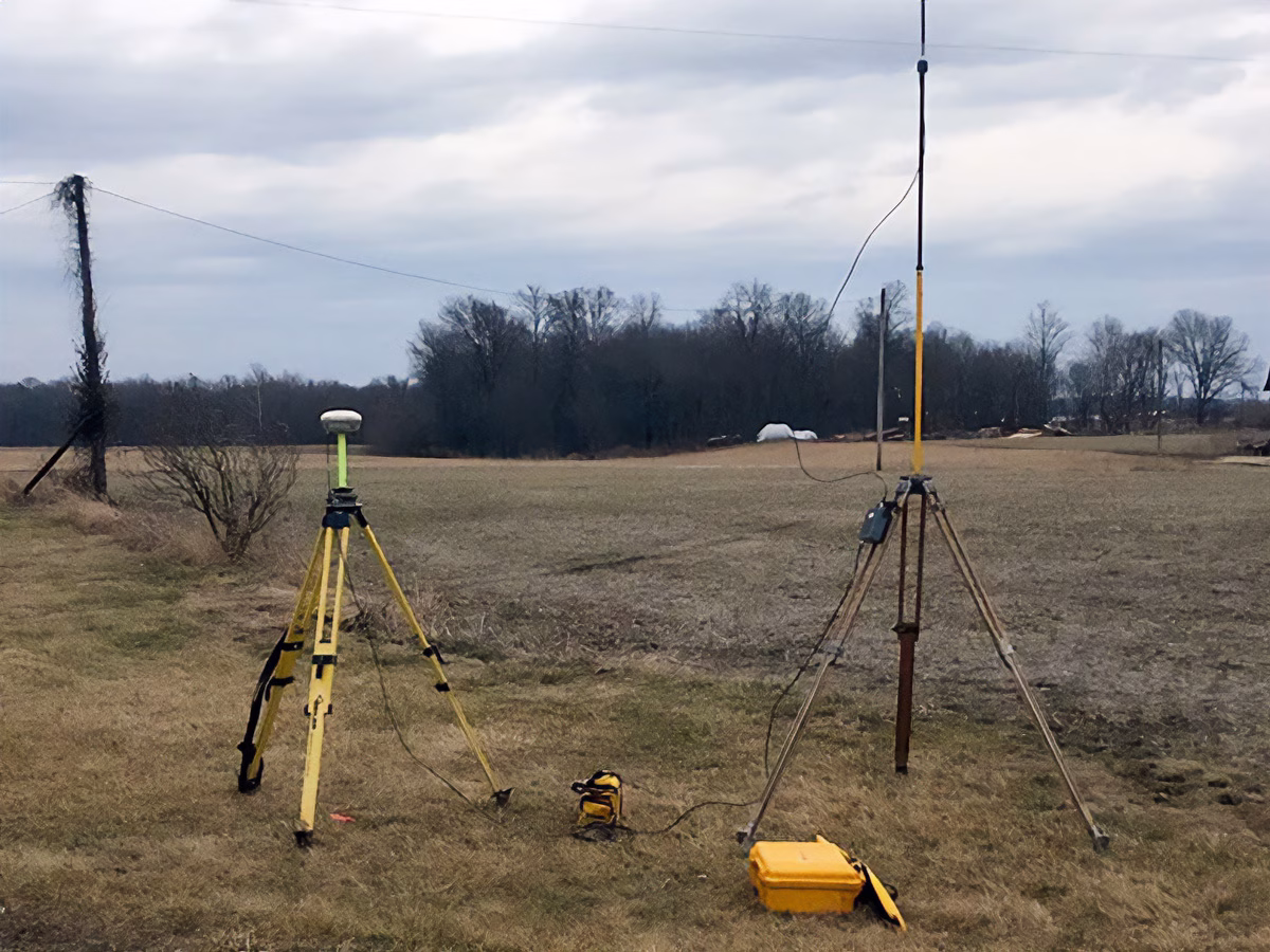
At Brosmer Land Surveying & Engineering, Inc., we provide a comprehensive suite of surveying solutions rooted in over three decades of local expertise. Our team utilizes advanced technology and historical record depth to deliver the high-accuracy data required for property transactions, regulatory compliance, and complex construction projects.

Our core surveying capabilities include:

  • Boundary & ALTA/NSPS Land Title Surveys: Essential for real estate transactions and resolving boundary discrepancies, providing a clear legal picture of property lines and easement.

  • Topographic & Control Surveys: Detailed mapping of terrain and existing features to provide the foundational data for engineering and site design.

  • Construction Staking & Layout: Precise field markings that bridge the gap between architectural plans and physical reality, ensuring structures and utilities are built exactly where intended.

  • FEMA Elevation & Flood Certificates: Critical documentation for property owners in flood-prone areas to determine insurance ratings and meet local building codes.

  • Specialized Reporting: Including Surveyor Location Reports for residential lending and Forestry Classification surveys to help landowners manage and protect Indiana’s natural resources.

Land Surveying Equipment, Jasper, IN. Brosmer Land Surveying & Engineering Inc.
Historical Surveying Marker Stone near Jasper, IN. Brosmer Land Surveying & Engineering Inc.

Contact Us

If you have questions or would like to schedule a consultation, we would be glad to hear from you. Call (812) 482-9819 or complete the form below.

This field is for validation purposes and should be left unchanged.
Name(Required)
Drop files here or
Accepted file types: pdf, jpg, Max. file size: 20 MB.